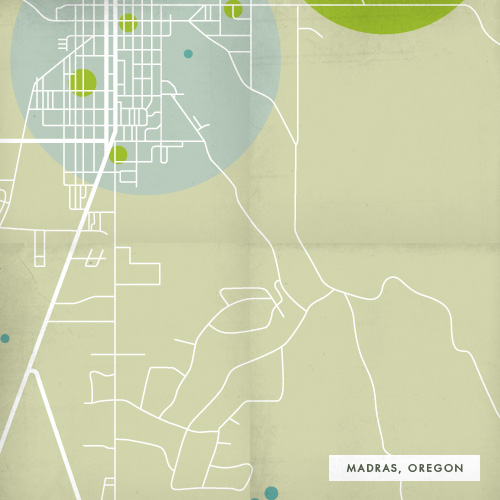
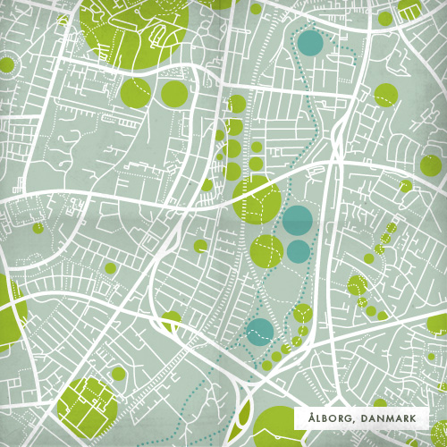
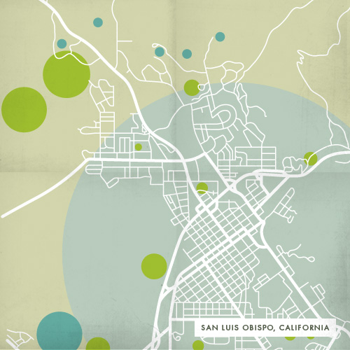
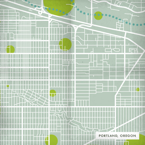
Recently an acquaintance posted a Google maps comparison of where they grew up and where they currently lived. The contrast in density was stark, and made me think about the places I have inhabited – from a small farming town in Central Oregon to a city in Danmark known for its rowdy bar scene.
So I made simple map illustrations of where I’ve lived, presented below in the same scale and in chronological order. Reflecting back on my dwelling places was an interesting study of how I felt in relation to what the maps showed me. Maybe the next step is to make a more interpretive version of these?


Beautiful, love the colors and the concept! Nice work